A Canoe Sailing Holiday in Ireland: Ireland's Eye & Upper lough Erne

I've been itching to take my sailing canoe to Ireland for some years.Now with a Solway Dory Shearwater in my possession and a cheap deal from Irish Ferries I finally was able to make it happen. Every other time I went to Ireland in summer the weather has been good, BBQs, sitting outside under umbrellas. None of the rain soaked cliches of the emerald isle ever seemed to come true. So in Mid June I loaded my canoe onto my battered Peugeot and headed for Holyhead with great expectations; it had been good weather there for the previous couple of weeks.
 |
| Awaiting the Ferry ay Holyhead |
300 miles or so later we arrived at the ferry port and boarded the ship.Once in Ireland I had less then 2 miles to drive from the ferry to our home.Thanks to Solway Dory's fabulous side trolley I was very quickly able to take the canoe off the roof and store it in my hallway. How many other sailing craft can you do that with?
 |
| The benefits of a side trolley |
Trips to Ireland's Eye
After a few days rain the weather dried up and although cloudy and grey, the winds were light. I loaded up the canoe and head a few miles north of Dublin to Howth Head, which sits on the top of Dublin bay.It has a pretty harbour and just 1/2 a mile or so offshore from it lies the small Island of Ireland's Eye.Below is a picture that I didn't take!

I unloaded the canoe and with my wife Mari on board took a few turns about the harbour until she was comfortable with the idea of heading out to open sea! I kept a turn or two in the sail and head out of the harbour...

I unloaded the canoe and with my wife Mari on board took a few turns about the harbour until she was comfortable with the idea of heading out to open sea! I kept a turn or two in the sail and head out of the harbour...
 |
| Landing on Ireland's Eye under leaden skies |
 |
| Landed ! |
 |
| Mari & Eve |
 |
| Heading back to Howth |
We took some photos and headed back for the Harbour.
Circumnavigation of Ireland's Eye
The next day brought cloudless skies and similar light winds.We returned to Howth again in the afternoon to circumnavigate the Island. |
| Back on the slip in Howth in brighter conditions |
 |
| Full survival gear for the epic voyage! But you have to dress for the water not the weather, |
 |
| Leaving Howth Harbour; Ireland's Eye ahead. |
 |
| Ireland's Eye from the Harbour mouth |
Once out of the Harbour I headed south to round the Island counter clockwise, heading toward Howth Head.
 |
| Looking south to Howth Head |
At the Island's southern point we beat up wind close to the east side of the Island. The cliffs were full of gulls and puffins enjoying the fine weather,
 |
| Heading North |
One of the most prominent features is "The stack" festooned with sea birds.
 |
| The Stack |
 |
| Looking back, at the stack! |
 |
| Behind the stack and behind Howth head you can just make out a ferry entering Dublin Bay. |
 |
| Blue weather sailing |

Once past the stack we headed west, on the northern tip of the Island stands a Martello tower.

We landed underneath the tower on a sandy beach looking for somewhere to eat lunch. I deployed my anchor to save myself the effort of dragging the canoe up the beach. I ventured off the beach and up onto the low grassy cliffs, hoping to explore some of the island.However this was not appreciated by the nesting seagulls which swopped over my head. Mari wisely refused to leave the beach and was left unmolested by the birds.


On the other side of the tower I could look north towards Lambay Island, a slightly more challenging destination, however its privately owned and landing on it is by permission only.


I made my way back down to the beach for lunch. I was thinking of sailing from Dublin bay around Howth Head to the harbour as the next sea trip: perhaps launching from Clontarf or maybe sail from Clontarf to DunLagoghaire across Dublin bay. However it turned out this was the last days sailing I would do on Irish seas for this trip.
 |
| Back in the harbour car park |

Upper Lough Erne Day Trip
The next day we head up the hundred miles or so from Dublin and across the border to Upper Lough Erne in the county of Fermanagh . I decided to launch in the more southerly end of the lake , near Crom Castle. The lake here is winding and small, almost more like a river. I made the mistake of not having a map , which made navigation problematic along with the winds, which were gusty and fluky, and the weather a familiar shade of grey and cool.


We sailed about for a little bit then decided to land at the old Castle ruins.
The castle was built in the 17th century by Scottish settlers. Although landing was prohibited I decided that the Scottish settlers were most likely prohibited from landing too by the original inhabitants, but that didn't stop them doing so and proceeding to building the castle, I just wanted to fry some some Gunnard fillets I'd brought at Howth the day before.


 |
| Gunnard a'fry! |

After enjoying our Gunnard and a nice cup of tea we sailed back to the launch point, packed up and drove back to Dublin for dinner with friends, it was quite a long day , and I was returning back to the Erne the following day for an overnight sail.
Upper Lough Erne Overnighter

We set off in light winds across Shanagy bay and landed on Creaghanacreesty Island for a cup of tea and some lunch.

Once refreshed we set off northwards. I was very happy to be in the company of Frank , who as well as sailing the lough in his canoe also sails a barge on it with his family so knows the lough well enough to guide us. As I had discovered the day before navigating the lough can be a challenge even with the charts Frank had provided us. Upper lough Erne was formed by the the flooding of glacial drumlins to create over 150 islands and a network of peninsulas making a marvelous but challenging network to navigate.

We head on North towards Innishore, following the main navigation route which has numbered markers assisting in the navigation.
Another great feature of the Solway Dory Shearwater is the ability to allow the "passenger" in the canoe to skipper the canoe, simply by extending the steering stick and sliding the sheet block on the boom forward, Osin was able to sail the canoe for almost all of the trip in the forward seat. I enjoyed being a back seat passenger for once and enjoyed being able to attempt to map-read, drink, eat,observe wild life and generally annoy Osin from the rear seat. I was also able to offer paddle assistance when the wind dropped or we were shadowed from it by an Island

As the afternoon drew on we made our way slowly along the north side of Innishcorkish,Edercole Island and the Nann group of Islands

Patches of blue sky appeared at we made our way North West. The bovine population of Nann Island west seemed to be enjoying wading in the reed beds.We moored up at the public jetty on the island and brewed up a late afternoon cup of tea.

After rounding Nann Island West the lough opened up, as did the skies unfortunately. The wind dropped to nothing,
We rolled up the sails and got the paddles out as we made our way across the lough looking for the route though the islands for the comfort of the pub and the prospect of an evening meal which was made more and more attractive with each paddle stroke and each drop of rain.
 |
| Paddles out .... |
 |
| ...Sails furled.... |
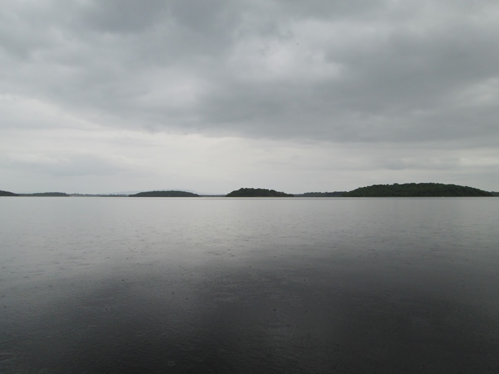 |
| ...across the open water. |


In the morning I a took a quick look around parts of the Island, including the cottage. The island is still up for sale. Yours for just £250k. Here


we had our breakfast before breaking down the camp packing up the canoes and making our way back to the Share center.Before we left the island I managed to loose the 8" screw in hatch cover to the rear bulkhead. I found out they don't float and were impossible to spot on the dark bottom of the lake.
 |
| Sailing back to the Share Center |
The winds had strengthen a bit and had shifted from a Westerly to the East insuring that we had a headwind for the second day as we returned back to base!
 |
| Making for a short cut through the reeds |
After accidentally sailing past the center and to down the lady Craighavon bridge before we realised our mistake we turnaround and finally landed and set out packing up the canoes and saying farewell to Frank before heading back to Dublin.
Postscript: The following day I developed a chesty cough that eventually took me to be the Mater hospital suffering from pneumonia! Finished off any sailing for most of the summer and took a couple of months to recover from.
Tis a damp place Ireland, alright.


