Translate

Showing posts with label Medway Estuary. Show all posts

Sunday, 6 April 2014

March on the Medway 2014


I'm starting to really love the Medway.
 There is some thing intangible about the vast, flat openness of the Medway, the proliferation of wildlife, the temporal landscape of the Salt Marshes and the pathos of a post industrial landscape that make it a intriguing and mystical place. My intention was to sail from Queenborough to Fort Darnet using the tide to take me there and back with the decent F3  from the wind south east to assist.


I got to Queenborough at around 9am with about 4 hours to go before high tide.
I still managed to get lost on the way, although the route I took was through the blossoming apple orchards of Kent, so quite beautiful.

As I assembled the canoe for the first time this year the air was very still, not much in the way of the force 3 winds forecast. Although I hoped that the winds would pick up later in the day.
The Slipway onto the Swale 
The tide was still well out as I put in on the Swale.


 as the flood tide enters the mouth of the Medway from the Thames estuary it also flows up the Swale.


With little or no wind a bit of paddling against the tide was called for.

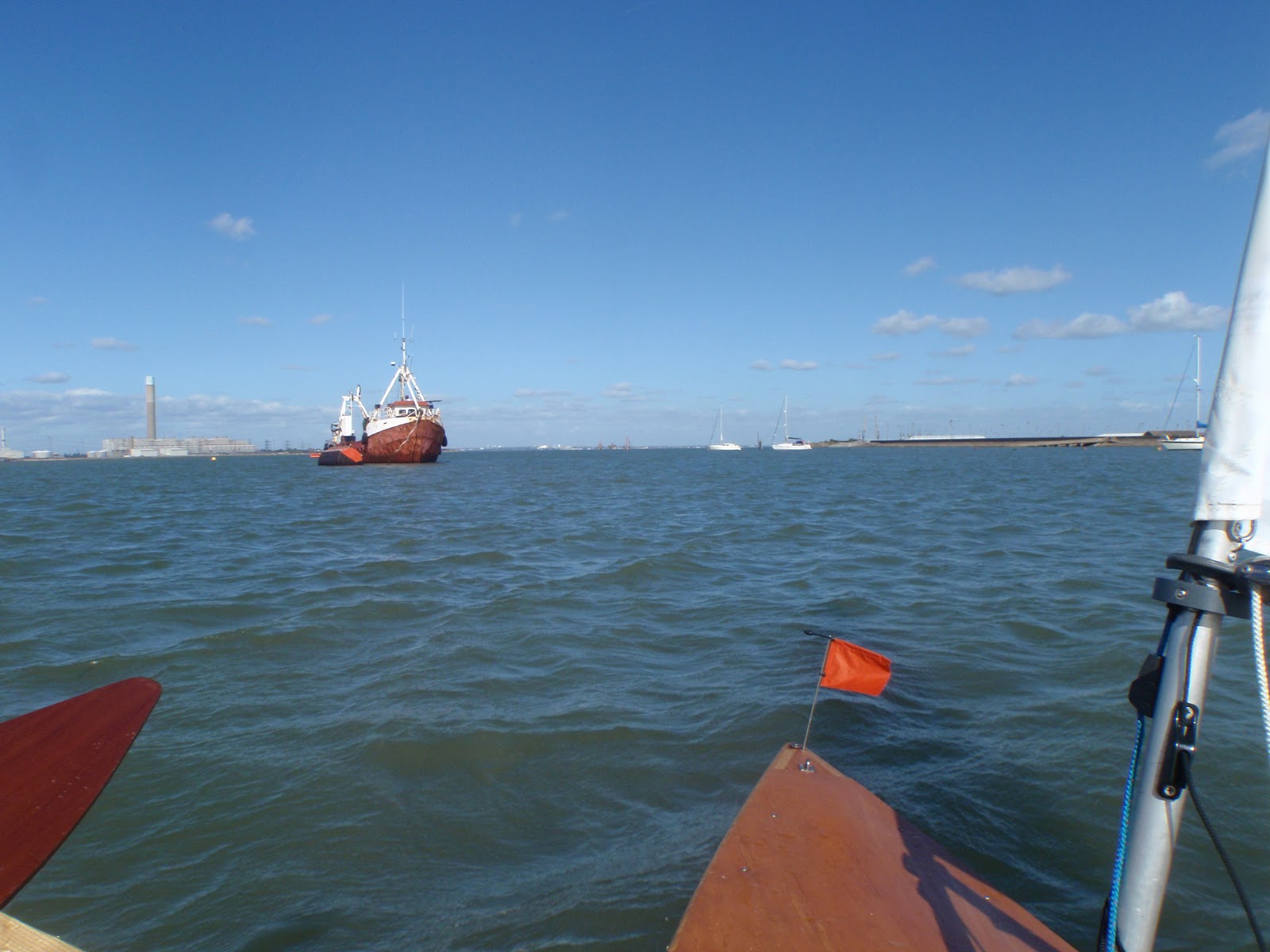
Some coastal shipping entered the mouth of the Swale, coming up on the tide, luckily I was well off to the side of the shipping channel.


With no wind I thought it was a good time to explore a little of Deadman's Island.


Deadman's Island; so called as its where the victims of the quarantined ships, or possibly of French prisoners of war,were buried. There are small beaches between the banks of mud...


... consisting of a plethora of tiny shells...


As soon as I landed on the Island some of the dead men became apparent. The waves are gradually eroding the island and exposing the graves. 


As I was walking about a couple of skiffs made their way up the Swale. One landed in an adjacent beach and I had a chat with the skipper. He is a member of the Community harbour at Queenborough, who took over the running of it after the Council bailed out and threatened to close it


After a while I decided I would press on into the Medway and let the tide carry me into the estuary. 

Another skiff appeared from Queenborough rowing club; Sexburga (named after an Anglo-Saxon Queen) we had a good chat on the water.  The guys at the stern also run Sheerness Sailing club and are the organisers of the 40 mile Isle of Sheppy  Round the Island Race and were very keen that sailing canoes should take part. Unfortunately this years race clashes with an event I'm hosting on the River Dart estuary in Devon. 


With what little wind there was behind me ,I set off into the Estuary, heading towards the mouth of Stangate creek, marked by a line of electricity pylons that run through Chetney marshes.


Once past the mouth of Stangate I kept to the edge of Burntwick Island, there were loads of sea birds swirling about excited by the rising tide which was now flooding the salt marshes.

Even with very little wind the tide was pushing me at a terrific pace. if you watch the video you can see how fast I was moving in what was no more the a F1 wind on my back. 
I started to think about how I was going to get back to the Swale without a decent wind even with the ebbing tide to help. I pulled up on a beach to look for Fort Darnet. I couldn't see it looking far down into the estuary even with my binoculars.

 I had some lunch and put out again into the still flooding tide, I thought i would see if I could make any progress against the tide to reassure my self I could get back if needed.Paddling at full volume I could only just about hold my position. Thats when I bottled it and decided not to go any further into the estuary, even though I knew the ebb tide would be in my favour coming back


By now the tide was flooding into Burntwick island, I could get away from the strong currents of the  main channel and, by lifting my rudder and leeboard , paddle myself in and over the Island. 


I was able to paddle myself back towards the mouth of Stangate creek.

Right on one the mouth is a concrete gun emplacement occupying the high ground. I pulled my canoe up behind it and decided to sit and wait for the top of the tide.After a little while the wind began to fill in nicely. Although it was now coming from the North East rather then the South East.
Looking down the Medway from the mouth of Stangate creek


Just a little below the gun emplacement are the remains of the barracks that housed the men who manned the guns, I decided to sail over the island to have a look...


The old barrack block


I was then able to paddle onto Stangate creek proper,unfurl the sail fully and get some decent sailing in with the wind finally blowing the Force 3 the forecast had promised.


The sunshine was getting a bit murkier so I decided I would head back towards Queensborough. There were a couple of wrecks I had noticed on Chetney marshes. On the top of the tide I was able to sail right up to them..


Gladys of Dover was a large sailing barge. There's a really nice story about its history here.

there was another wreck, name unknown....

Just beyond this wreck are a line of posts delineating Shepard's Creek; its only accessible at high tide, it winds its way between Deadman's Creek and Tailness Marshes providing a short cut from the Medway to the Swale.

I tacked my way along the creek back to the swale, a last bit of excitement afforded by the sight of the Sheerness lifeboat towing in a yacht to Queenborough that presumably had an engine failure.

Once back off the high water meaning it was only a few meters back to trolley my canoe back to the  the seawall I loaded my canoe and had a swift half in the friendly Yacht Club.

One day I'll make it Darnet Fort , but I'm in no hurry, theres a lot to see on the way!


Monday, 19 November 2012

Back to the Medway! 29th September 2012


I attended the OCSG meet at Ullswater back in July and this was to be the last of my summer sailing for 2012.A month in Ireland then a return to the UK straight into a new job put paid to that.
However Saturday's weather forecast looked promising a F4 Westerly predicted. At 8am I was still undecided and I didn't even know what the tide was doing, a look on the internet showed high water around 11.30 am. If I put in at high water at Queenborough I could reach up the Swale to the estuary and  tack down it in slack water then motor back with wind and tide.Game on!
 Inevitably getting the canoe loaded took longer then anticipated as did remembering how to get to Queenborough and getting the canoe ready. This was the first time I was using the outriggers on a solo trip so they needed attachment as did my foredeck and the airbags need re inflation so a little more faff then normal. I was on the water for high tide.
On the slip at Queenborough

A pleasant reach up the Swale against the incoming tide soon took me to the Estuary proper, I passed the mouth of Sheppard Creek on the way up the Swale, this is a little short cut across Deadman's Island, only accessible at high tide. I toyed with the idea of using it but as its relatively narrow and was directly into the wind I pressed on the short distance up the Swale to the estuary proper.


The Swale meets the Medway


looking back to Queenborough
It was a great day for sailing on the Medway, lovely clean winds, with little wave height, and unlike last time quite a few sailboats taking advantage of the conditions.I hadn't really any planned destination in mind and in my haste to get on the water I had neglected to bring any provisions, a themos of coffee would of been welcome,as It was I decided to sail more or less the same route as my last visit. I beat up into the estuary; the wind  was  creating a little swell and some confused water around the mouth of Stangate creek,I reached back and forth on this patch for a while, a massive barge stood guard at the creek mouth.
Moored Barge
 Eventually for want of a destination to aim for  I  decided to land on Burntwick Island, close to the remains of a WW2 barrack block that sits on the mouth of Stangate creek. This is awash at high water, a testament to the fact that this and other islands in the estuary are gradually being submerged into the waters, whether this is due to human intervention or due to lack of it I have no idea but it does threaten nesting sites for the birdlife. As I made my way to a small beach next to the blockhouse to land a Curlew, my canoes namesake took flight.
Barrack block on Burntwick
I landed for a short while again regretful that I had brought neither food or drink.The tide was turning so I decided to investigate further down the creek. I sailed on to the mouth of Sharfleet creek, this snakes along the south side of Burntwick Island. By now the tide was well on the turn and was racing through the creek being squeezed by Burntwick Island to the North and Green Borough Marshes to the South creating turbulent currents. I reach a few times back along the upper Stangate, a few other sailboats passing by.


I met the skipper of this yacht back at Queenborough, he told me  that Stangate creek is the local sailors favourite spot when there's a bit of a westerly blow on as it makes for terrific reaching on calm waters.
eventually I headed back to the main estuary for the run back to the Swale, I had my jib up at this point, rather unnecessarily really, up ahead I spotted a massive mooring buoy in front on me  and made a mental note to gybe only once I was passed it, a few moments later I was fiddling around with the jib and wondering wether to sail on down the Estuary a bit longer or head for home. I decided to gybe to head in towards the swale, I did so only to only to realise that I had done so right in front of the buoy;only 30 feet on so uptide of it! This really shook me up,  a couple of seconds later and  I would of been pushed onto it by the tide during or just after the gybe, and such was the size of the buoy it would of rolled the canoe right under it. I decided that this mistake was partly due my jib  obscuring forward vison somewhat and hiding the buoy, but as I'd spotted and noted it as  potential hazard only a minute or two earlier how come I sailed myself in to that potential danger?  I was bimbling about on a stretch of water not sure or particularly bothered as to which direction to take. Perhaps waters like this  really warrant  a bit more thought about where you are heading to and better realisation of what the hazards are:
I didn't really have a passage plan.
Suitably self chastened I heading back down the Swale toward the Queenborough slipway. Landing on the slip was a little tricky as its only 12 foot or so wide and had a fairly strong current running over it.A wrong step and it would easy to find oneself in deep water.I landed without problems.
Back on the slip

it was my second time on the Medway, it warrants further exploration and maybe a day isn't long enough to do it justice.I'm planning an overnight camp there in the new year and hope to get further down into the estuary.


Some footage from the day:


Thursday, 3 May 2012


First sail of the year: Medway Estuary 10th March 2012


Since I have been Canoe Sailing for the last six years nearly all of it has been in the South West, as my family live there, very close to the Dart River and Estuary. But living in London means Sailing is expensive in travel costs and not as frequent as I would wish. Looking closer to my home the Medway Estuary seems to offer great possibilities for canoe sailing in the South East. Flowing out from Kent the river winds its way past the quays of Rochester and docks of Chatham before opening up into a wide expanse of marshes, Islands and mud banks before entering onto the end of the Thames Estuary. 

The history of the Medway is fascinating, with a long maritime and naval past, the remnants of which dot the landscape ranging from Elizabethan castles to Victorian gun batteries. Perhaps the most notable event occurring in 1667 the Dutch arrived during the second Anglo Dutch war to stir things up a bit, capturing and burning the capital ships of the Royal Navy, setting fire to the principal naval dockyard of the time and causing fear, panic and confusion throughout. It was at this time Sir William Batten made his famous remark “By God. I think the Devil shits Dutchmen!”  The Estuary is now free from the threat of the Dutch but perhaps faces a far greater danger should it be the site of "Boris Island"; the current Mayor of London's fantastical proposition to build an Airport either on a man-made Island in the Thames, by the mouth of the Medway or on the Isle of Grain which is its Northern shore. The facts of thousands of birds living  breeding and flying around here in an area that is a protected under European law and the presence of a mere1500 tonnes of TNT explosives on the sunken liberty ship SS Richard Montgomery at the mouth of the Medway are apparently mere trifles  to our dear leader. We shall see. In the meantime the Medway is industrialised to some extent along its Northern edges with power stations and container ports but it still offers a semi wildness landscape of mud flats, salt marshes and low lying islands bounded on the South by oast houses and orchards all just a few miles from the megatropolis of London.
The Bridge to Sheerness.


So it was in early March I made my way to the Isle of Sheppey, to the now sleepy but once important town of Queenborough to join a group paddle that was to celebrate the launch of a series of downloadable guides and videos for canoeists wanting to explore the tidal Medway. http://www.discoveryourestuary.com/ 

Queenborough Church

This seemed a good way of getting a feel for the Estuary for the first time and be in company. The weather conditions were very favourable; light F2-3 winds and a spring like 15 degrees promised.
Somehow I managed to forget how to get to Queenborough and I had left my sat-nav in my work car so I arrived somewhat late, most of the paddlers were already waiting on the slip. As it was the first sail of the year I needed to take some time sorting out my canoe, inflating and attaching the side air bags etc. checking that I had everything in it’s proper place So by the time I got onto the slip, the paddlers had left!
Queenborough Slip: Accessible at all states of tide.

I wasn't too bothered as I was slightly unsure how my sailing canoe would "interface" with a guided paddle anyway. As I trundled down the slip I could just see the back markers of the group disappearing up the Swale and into the distance. After unfurling the sail and then threading the jib halyard I was all set to begin the 2012 season!
 Launching into the Swale the incoming tide was against me but with a Westerly F2 beam reach even in light winds I was delighted at how the Solway Dory Curlew was able to punch against the tide. Once out on the Medway the tide was with me but now I had to close haul down the Estuary, dropping the jib to enable better pointing into the wind seemed like a good idea. 


The estuary was quite murky to start with but the sun was gradually burning off the low cloud, unlike the estuaries in the South West, which have been my normal sailing areas, the Medway shore is very flat, the islands are low and undistinguished, I found it was very easy to get disorientated when tacking. The most obvious landmarks is the huge tower of Grain power station looming over the Estuary with a slightly sinister presence, further down into the estuary I could see the animal-like shapes of Thames Port Container cranes seemingly herding across the skyline. There was very little traffic on the Estuary apart from a few fishing boats and a one man hovercraft that noisily sped past. There were a couple of huge flat bottomed barges moored up which I kept a good distance from, those things give me the Willes: The surface current flows straight under those things rather then being pushed around them, meaning a capsize in front of them would see you potentially forced under and possibly pinned to the bottom! After beating up the Estuary past Chetney Marshes on my left  I turned into the entrance of Stangate creek, the tide against wind here or possibly a sand bar  creating a bit of bump at its mouth which might be something to watch out for in stronger winds. Once in to the creek I practised my hoving-to skills with my jib while scanning the horizon with a small pair of bin's to hunt for the elusive paddlers.

Hove-to on Stangate Creek.


After trying to remember the advertised route they were taking I eventually found the group tucked behind a disused pier on the southern side of Burntwick Island.
The Island was once a Victorian rubbish dump and the foreshore is festooned with bits of old bottles and ceramics. After ten minutes or so of my arrival the paddlers set off over the top of the now mostly flooded Island to investigate an abandoned WW2 barrack block. 
With the paddle group on Burntwick Island
I left them and set off back up Stangate Creek. The day was now really sunny and beautiful, the sun having burnt off the low cloud and the Estuary was full of wildlife, thousands of birds noisily calling and wheeling in the clear blue sky overhead, a solitary seal accompanied me for a while popping his whiskered head up now and then.
The Sun has burnt through!

I met back up with the group as we took the high tide short cut of Shepard's Creek, cutting through Deadman's Island and back to the Swale and across to the slip at Queenborough. A very successful first exploration of canoe sailing in the South East, I will be returning very shortly! 


Map of trip, about 7 miles or so in total.